-
Géocaching : circuit de HartmannswillerkopfDescription of tour:Hartmannswillerkopf, or Old Armand is located in the massif of Vosges. With a 956 meter height, it overhangs the Plain of Alsace and the Haut Rhin department.Especially known to have been the theater of fights which took place during the First World War and making thousands of deaths, it became today, the Mecca of memory (report). Old Armand shelters a national monument telling one of the most murderous battles which took place in France.The name of Hartmannswillerkopf comes from the name of the village of Hartmannswiller and from the word kopf which means head . The “Hairy”, (poilus in french) at the time, renamed Hartmannswillerkopf in Old Armand, Hartmann being Armand in French.PARKING:In front of the site in the GPS Address: GPS N47°51.524 E007°08.892 /Google Maps: 47 51.524, 7 08.892WARRIORS ANGELS:Go to the coordinates: N47°51.523 E007°08.976 / Google Maps : 47 51.523, 7 08.976What object the two angels are holding in their hands?A=sword=4A=rifle=5A=sabre=6Both bronze angels, called the Victoires (Victory) was realized by Antoine Bourdelle, at the request of his friend Robert Danis, chief architect of historic monuments.TO OUR CHILDREN OF THE HOMELAND:Go to the coordinates : N47°51.528E007°09.010/Google Maps 47°51.528,7°09.010Observe the altar of Homeland. Faces wear blazons of twelve big cities of France.What city has for symbol a cross?B= Marseille= 601B= Mulhouse= 650B=Strasbourg= 751ALL IN SHELTERS:Go to the coordinates : N47°51.687 E007°09.422/Google Maps 47 51.687,7 09.422In this place, big and deep holes appear, what represent they?C= Trenches=9C= A border=10The site of Old Armand includes 45kms of trenches which are preserved. The main fights took place there during 1915, making 30000 deaths whom a majority of French soldiers. Its nickname “man-eater’s” comes from there.A FUNNY HIDING PLACE:Go to the coordinates : N47°51.644E007°09.677/Google Maps: 47 51.644,7 09.677To watch the enemy, and prevent their troops against possible attacks, the soldiers built sentry boxes.What is the particularity of this sentry box?D= It is a wooden sentry box = 20D= It is a mobile sentry box =21D= It is a sentry box with windows =22This sentry box is a part of the multitude of present vestiges to Old Armand: shelters, trenches, bunkers, strengthened posts … A century after the fights, the site still preserves a very important quantity of military works on 6000 which were set up there.THE TREE OF THE PEACE:Go to the coordinates : N47°51.589 E007°09.828 /Google Maps: 47 57.589, 7 09.828In what year was this tree planted?E= EEE7PIECE OF HEAVEN:Go to the coordinates : N47°51. 623 E007°09. 534/ Google Maps: 47 51.623, 7 09.534Observe the landscape. Except the site of Hartmannswillerkopf (cemetery, crypt), how many buildings do you see?F = 2F = 5At this place, you can see the farmhouse inn of Molkenrain, located in 1040 meters in height. The owners offers products stemming from their breedings: cows Salers, pigs, hens…THE TREASUREFind the final hiding place!Here are the coordinates of the final hiding place: GPS coordinates : N47 ° 51. XXX E007 09. YYY / Google Maps : 47 51. XXX, 7 09. YYYAfter solving the previous indications, do the following calculations by replacing letters by numbers. You will then find the place where the hiding was deposited.XXX = A+B+C =YYY= E*F+D =IN PASSING…The Road of CreteIt connects Cernay to Sainte Marie aux Mines (about 80 kilometers).It was build during the First World War. The road offers you a fantastic view over the plain of Alsace, the Black Forest and the Alps Berneses. Farmhouses inns offers you all along the road them famous typical meals.HartmannswillerCome to discover the church of XVII ° century and the cemetery strengthened of XV° century by this small village located between the hills and the vineyard at the foot of Old Armand.UffholtzAmong the main sites to discover, the municipality of Uffholtz counts : the Church Saint Erasme, the chapel Saint Antoine dedicated to Saint Antoine le Grand, but also the Shelter Memory builds in 1581 and which is nowadays, a cultural and patrimonial center telling the Great War.WattwillerMainly known for its waters of mineral springs, Wattwiller is also known to be one of the first villages occupied by the German troops during the War 14-18.To Discover also, the François Schneider foundation, contemporary Arts Center.CernayFormer walled city, Cernay counts among its vestiges, the Tower of the witch which served formerly as prison, but also the Tower of the Marshals (maréchaux). The Museum of the Door of Thann presents the local heritage and the temporary exhibitions.Where to eat?Auberge de la Ferme des DahliasChemin Lingasse68 500 Berrwiller03 89 28 23 67La Couronne84 rue Principale68 500 Wueheim03 89 48 77 99Cantine ZellerIt located in below of the Vieil Armand. You must follow the Club Vosgien’s marking. ((red, white, red rectangle)Opening days: week end and closed days.La Cave du Vieil Armand1 route de Cernay68360 WUENHEIM03 89 28 22 07The cave offers you to discover the work in relation with wine in visiting their museum.
Liesel's advice
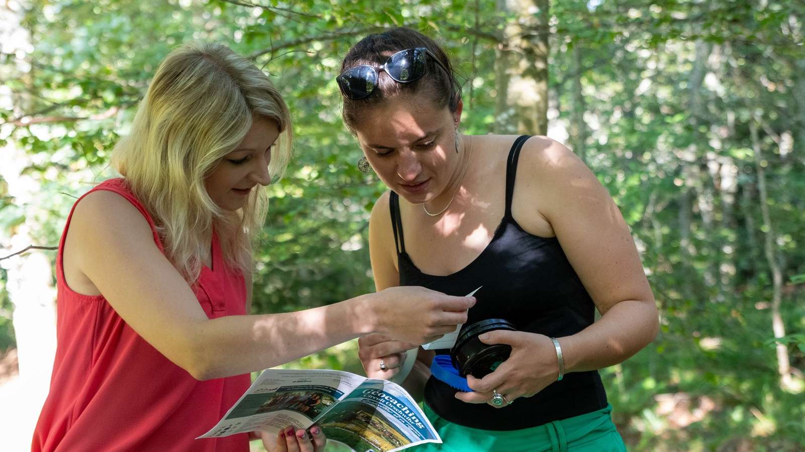
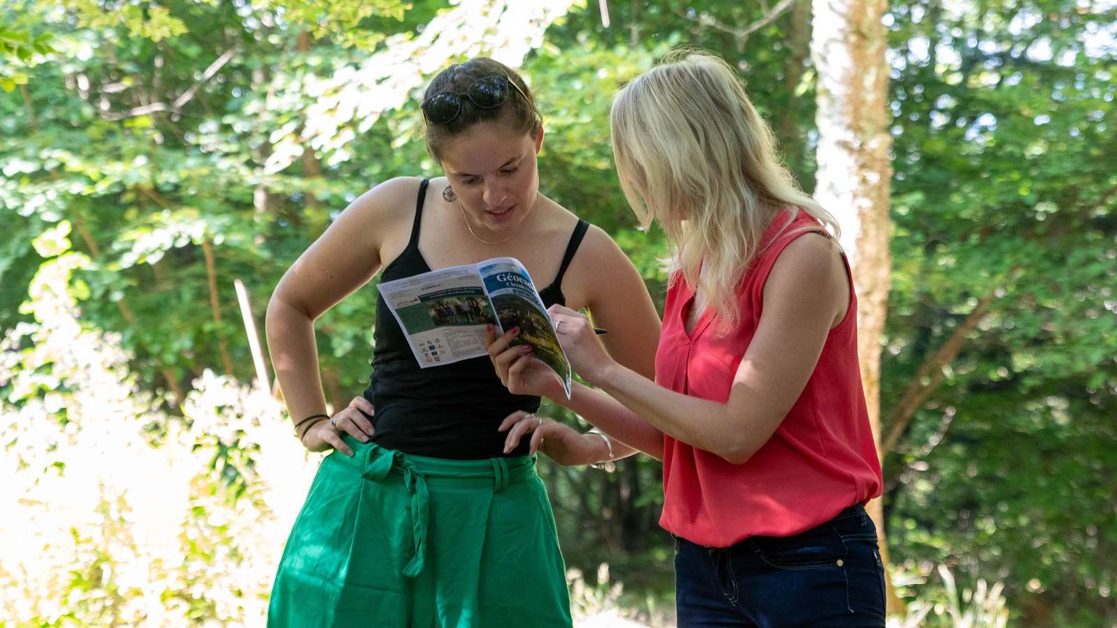
Take a geocaching adventure to the Hartmannswillerkopf! Forests, trenches, breathtaking views and caches to discover... Enjoy an unforgettable experience with family and friends! -
Location
Access
Can be accessed by car except in winter


